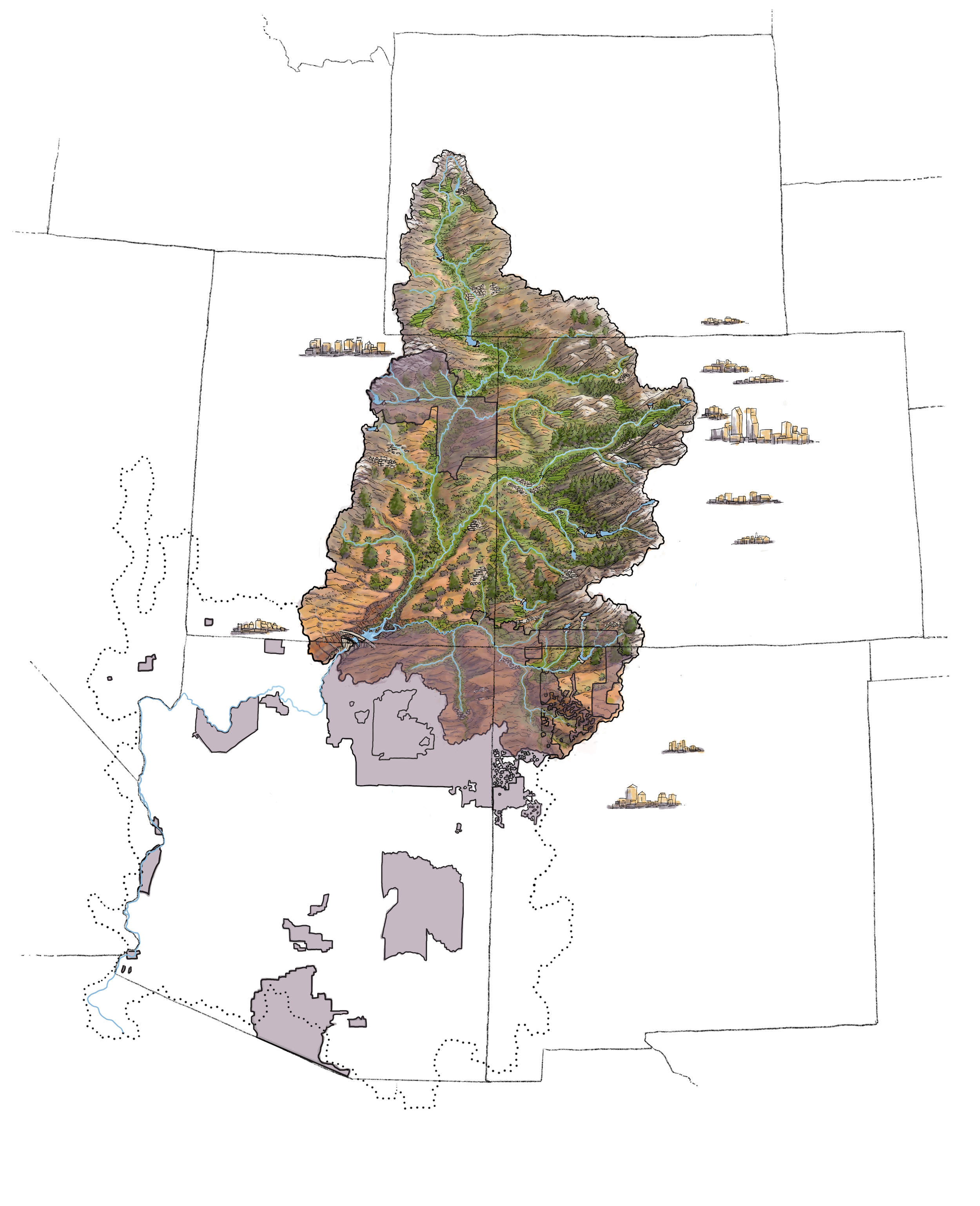
These illustrated maps were created in collaboration with Colorado State Department of Natural Resources to depict varying temporal and spatial scales and features of the Colorado River watershed.
More detailed descriptions of the maps and can be found at www.coloradoriver.com


